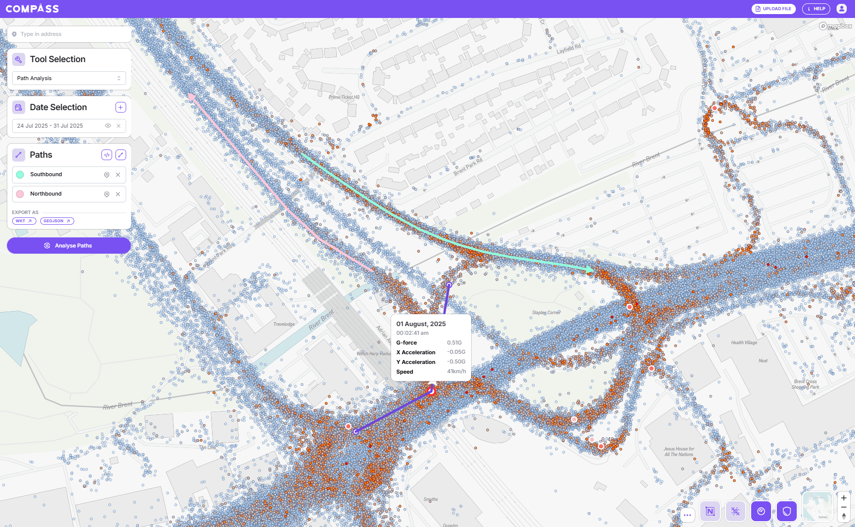
Vehicle-generated insights for any section of road, any time period, instantly.
Our cloud-connected vehicle insights provide unmatched visibility across transport projects, new capabilities for building use cases, and improved outcomes for stakeholders.


Understand where friction loss happens and how this impacts surrounding roads.

Understand where drivers are hard braking or swerving, and risk profile across the network.

Understand travel times, trip distribution, what routes drivers are taking, and speeds.

Get better visibility over projects and access datasets that enable you to solve unique problems that traditional hardware-reliant methods can't, including freight, road safety, and asset maintenance use cases, at scale.
Our passive vehicle-generated insights enable you to make decisions that are backed by data. Access billions of data points, for every road, instantly and share them with other Compass users.
Our data is incredibly granular. Each line can show location, timestamp, ID, speed, acceleration, gyroscope, make, model, as well as road attributes (such as speed limit, pavement type and other variants). We get data at between four times a second to once every minute depending on connectivity.
Yes, we have data for use cases across New Zealand, the UK, the US, and the EU.
You can learn more about Road Intelligence, our data, and how to interpret other Compass insights via our or our FAQ page.